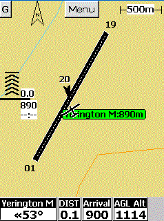
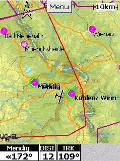
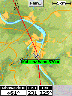
-
Free vector Maps of several countries
(see our Maps section)
-
Free Aviation Database including Airport and
Airspace Information, runway locations and size,
radio frequencies, etc.
-
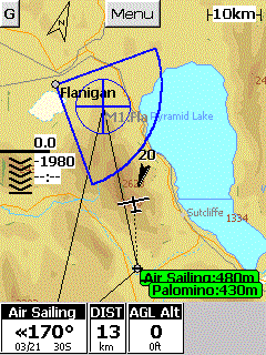
Airspace vertical and horizontal proximity warnings
-
Mobile Turnpoints simplify flying AAT and POST tasks
-
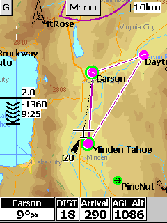
links to your GPS for current moving
map position, and visual depiction of surrounding
airspace class
-
final glide around multiple
turnpoints - instant display of data at different
McCready Settings
-
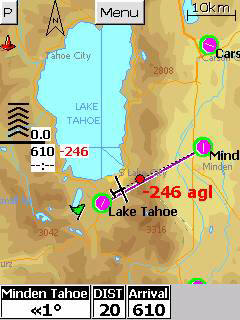
Graphical final glide indicator
-
Automatic wind calculation
-
Thermal Finder : predicts locations of
thermals based on analysis of previous flight logs
-
Instant readout of tail/headwind (WP
Pro)
-
Climb Maximizer (WP Pro)
-
3D Wind Display
|
- touch screen provides instant access to
turnpoint and airspace details, final glide, and settings
- instant display of reachable airports and landing sites
- easily configurable navigation windows (NAV Boxes)
- user modifiable airspace data available at no extra cost
- powerful task editor, >5000 turnpoints
capacity, sorting in ascending and descending order
by name, turnpoint id, distance, or attribute,
instant readout of ETA and altitude required (WP
Adv) or arrival height (WP Adv and Pro)
- simulator mode allows exploring all features at
home see other features...
|
