|
WinPilot VFR
Users Manual - WinPilot 2.00.pdf Quick Setup: 1. Download WinPilot VFR (see above), and double
click on the executable, it will install itself on the iPAQ,
including sample map and aviation datafile. Reset your iPAQ, you
should see two big buttons on the screen: WinPilot and WinPilot
Simulator. Press WinPilot Simulator, and you are ready to explore. You can also test WinPilot with data for your
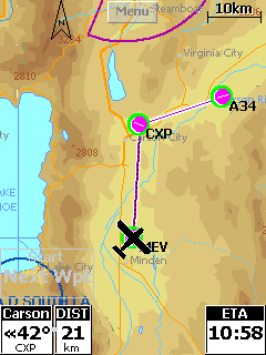
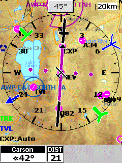
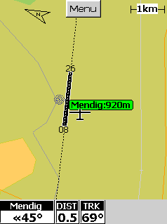
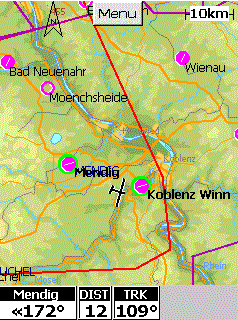
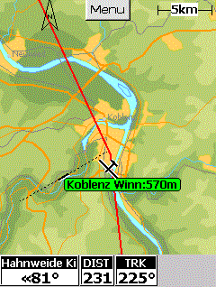
particular country. To do that, follow steps below: 3. Download terrain map for your country (extension *.wp3) to your desktop, and place it in \My Documents folder on your iPAQ (you might need to unzip it first, so it has extension *.wp3). 4. Start WinPilot VFR simulator, goto Menu.Files, Make sure that the appropriate Aeronautical data file and country are selected. A map should now appear showing airports, VORs, etc. To enable terrain map, go to Menu.Files.Terrain, and select map file downloaded in step 2. To move the simulated glider to a location of your
choice go to Menu.Waypoints, select one, switch to third tab on the
top, and select Action.JumpTo, or Action.Set Home Airport.
|
